2024-11-05 00:29:47
2.6k
166
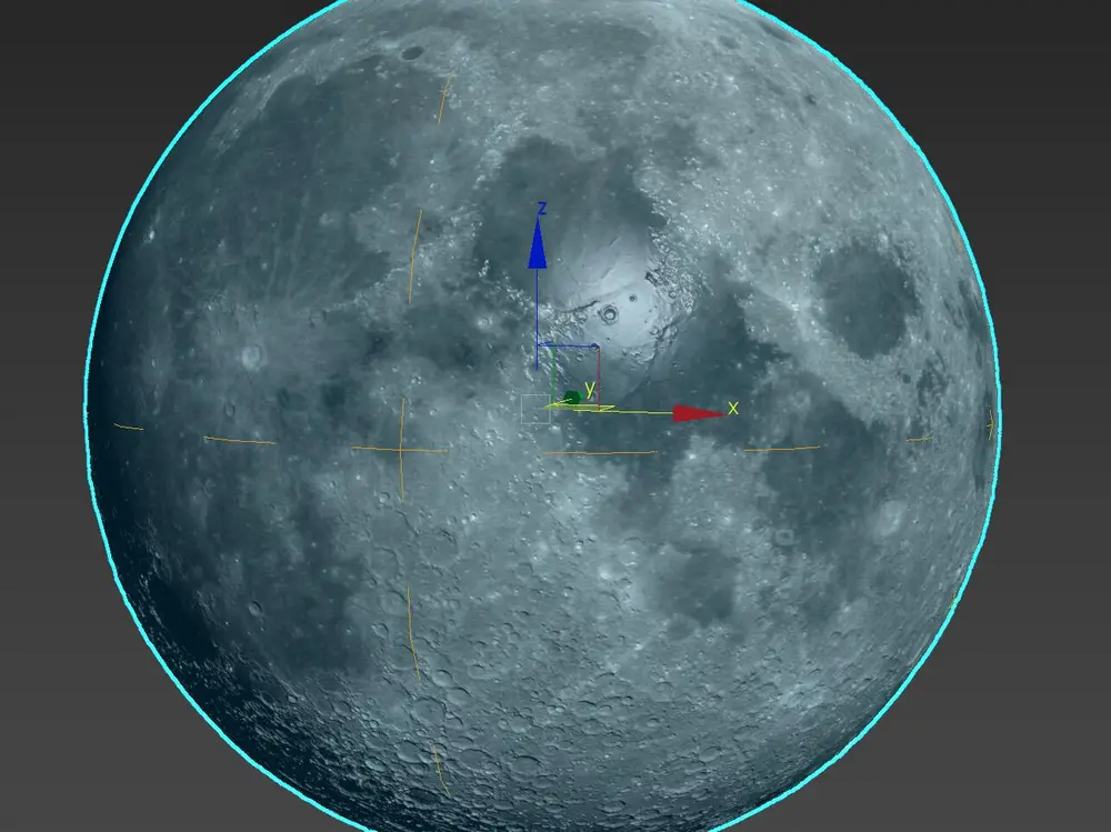
The moon - Full resolution (almost 1GB download)

@ex_anycub1c_fan_189388
Donate
Message
Follow
Recommended printing method
+ Frequently Used Printer
46
Share


Description
Painstakingly put together using genuine terrain height map direct from NASA.
Using a basic sphere set to highest resolution and displacement. Then duplicated and sliced into two halves for printing purposes.
NOTE : the model will need scaling to your required size. The files are quite big and the print time depends on how big you want it.
There are 3 stl files. one has notches on to create a friction fitting. If you don't use this, then you can glue them together.
1 x top
2 x bottom
Tags
License
Standard Digital File License
This work is licensed under the Standard Digital File License.
You are prohibited from sharing, sub-licensing, selling, renting, hosting, transferring, or distributing the digital file or 3D printed versions of this object, as well as any other derivative work in either digital or physical form (including remixes).You are not allowed to use the objects in any manner that involves charging money or collecting fees without permission.
You are prohibited from sharing, sub-licensing, selling, renting, hosting, transferring, or distributing the digital file or 3D printed versions of this object, as well as any other derivative work in either digital or physical form (including remixes).You are not allowed to use the objects in any manner that involves charging money or collecting fees without permission.